At Thermal Hawk, we harness the power of cutting-edge drone technology to provide exceptional mapping and thermal imaging services. Whether you're surveying land, inspecting infrastructure, or conducting environmental assessments, our team is dedicated to delivering accurate and reliable results tailored to your needs. Let's elevate your projects together!
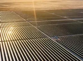
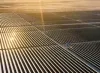
Our drones capture high-resolution aerial imagery, allowing for detailed mapping of any terrain. Whether you need topographic maps or land surveys, we provide accurate data to help you make informed decisions.
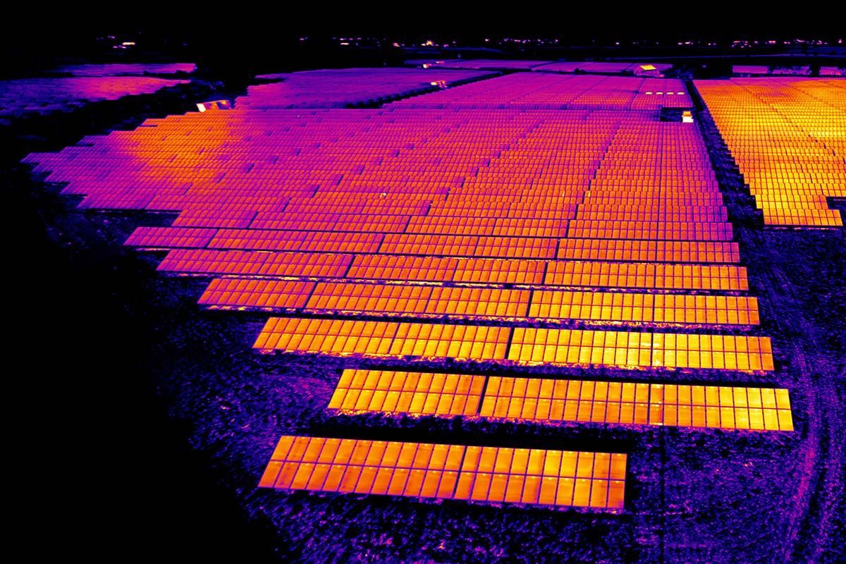
Thermal Imaging
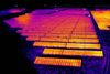
Utilizing advanced thermal imaging technology, we can detect heat signatures and identify issues that are invisible to the naked eye. Perfect for inspections, search and rescue, and energy audits.
Real-Time Data
Stay ahead of the game with our real-time data collection. Our drones transmit live feeds, giving you immediate insights and the ability to make quick decisions on the ground.
Custom Solutions
We understand that every project is unique. That's why we offer tailored drone solutions to meet your specific needs, ensuring you get the most out of our services.
FAA Certified Pilot.
With over 12 years of Solar service experience. Our pilot knows exactly what to look for. Keep your team safe and let us do the job.
At Trust The Hawk, we believe that our strength lies in our people. Our dedicated team combines expertise in drone technology with a passion for delivering exceptional service. Get to know the faces behind the flights!